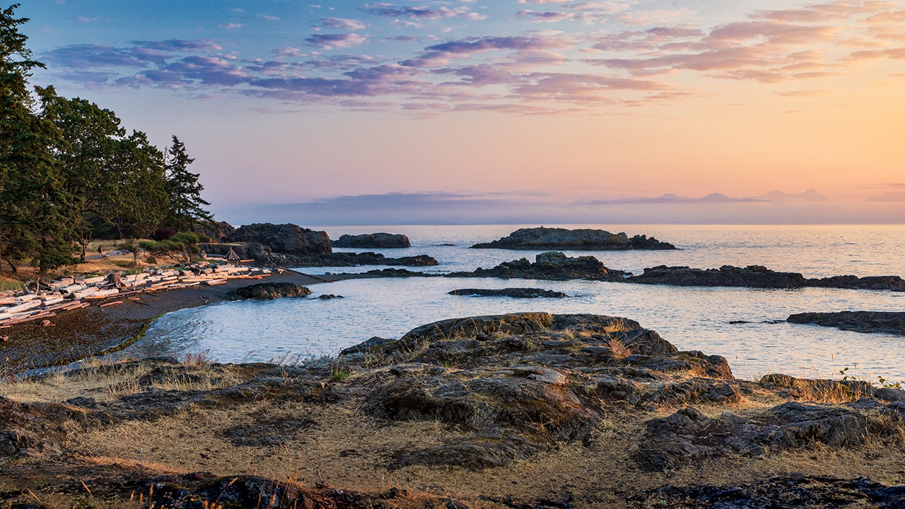
Although even many Canadians may not know this, there are many sensors located along the west coast of Canada, in the Pacific Ocean. Underwater-cabled observatories collect data on ocean and earth processes through these sensors, which measure a variety of physical and chemical properties, including water pressure, movement and temperature. Land-based sensors, including radar sensors, collect similar data along the coastline.
This system, called the Web-enabled Awareness Research Network, can help save lives and limit the impacts of natural disasters.
With funding support from CANARIE, Ocean Networks Canada (an initiative of the University of Victoria) is developing a software system to co-ordinate readings from these sensors in order to detect and report natural hazards, such as earthquakes and tsunamis. This system, called the Web-enabled Awareness Research Network (WARN), has the potential to help save lives and limit the impacts of natural disasters.
Detecting an earthquake
Even though the WARN software platform is still in development, on November 15, 2014, it detected a magnitude 7.3 earthquake that was centred near Indonesia, approximately 11,000 km away. How does this work? One type of sensor – an accelerometer – measures movements of the earth, including those generated by earthquakes. Similarly, underwater pressure sensors can detect waves by measuring the weight of the water above the sensor. Using data from a number of sensors in different locations, WARN does not merely detect events; it also makes important measurements, such as the severity and epicentre of an earthquake or the speed and direction of travel of a tsunami.
Early warning
Once an event has been detected, WARN can provide notifications to emergency personnel in real time. Imagine a first responder getting a message on their phone notifying them that a tsunami had been detected, how long it will be before the water reaches the location of the phone, and where to find safe ground. As extremely powerful as these capabilities are on their own, WARN also interfaces to research systems maintained by other Canadian researchers to help determine the potential impact of a disaster. Earthquake location and magnitude estimates could be provided by WARN to a civil engineering research platform that then calculates the expected impact on buildings and infrastructure, ultimately directing disaster response and utility operators to be in position where they will be needed most.
Available to others
Even better, Ocean Networks Canada has made their notification system available to other researchers through CANARIE’s Software Services Registry so that it can be used in future Research Platforms that require notification of sensor events. Although important in managing an actual emergency, WARN is also valuable in disaster response research. Through the WARN platform, Ocean Networks Canada can replay sensor readings captured in the past during actual natural hazard events, effectively providing a simulation of an emergency for research purposes. The Ocean Networks Canada infrastructure is used during the Great British Columbia StakeOut, a disaster preparedness drill held annually as part of the worldwide Great ShakeOut Earthquake Drills initiative. Additional Resources: oceannetworks.ca, science.canarie.ca


