

Clearing the path to seismological data
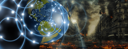
The EOSC-hub project is establishing a single contact point for European researchers to access and use resources for advanced data-driven research in fields such as seismology.
The EOSC-hub project is establishing a single contact point for European researchers to access and use resources for advanced data-driven research in fields such as seismology.
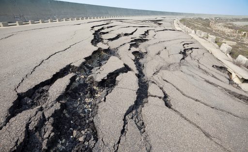
From ancient times to the present, strong and catastrophic quakes have caused tremendous destruction in the territory of Azerbaijan. High-speed Internet is essential in order to process information about earthquakes.
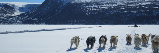
The Greenland Community Ice Information Service provides satellite-based up-to-date information to plan a safe trip across the ice of Northern Greenland.
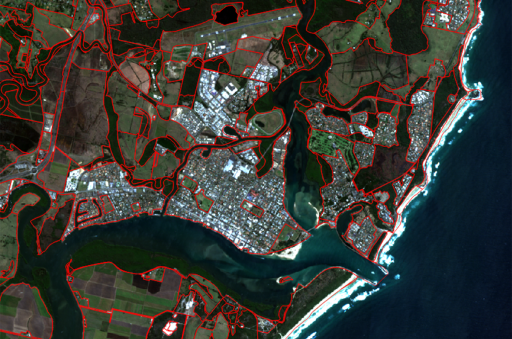
A customized network solution has greatly improved access to essential satellite imagery and geospatial data for researchers who help inform government policy on land management.
Researchers at the University of California San Diego used satellite images from multiple sources to map and understand city growth patterns in India, with the help of computers trained to distinguish types of growth. The technology is also being used to identify refugee camps and schools in Africa.
TLALOC-Net is a network of GPS and meteorological stations used to study the atmospheric and solid earth processes, allowing better analysis of the Mexican subduction zone.
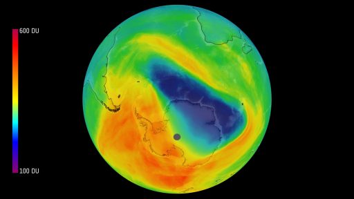
For the first time, air pollution from individual cities and built-up areas can be detected from space. The European Sentinel-5 Precursor Earth observation satellite sends ultra precise measurement data to ground stations in Norway and Canada.

R&E networks make hydro-meteorological monitoring data accessible to scientists and local authorities for informed water supply assessment and management in Central Asia
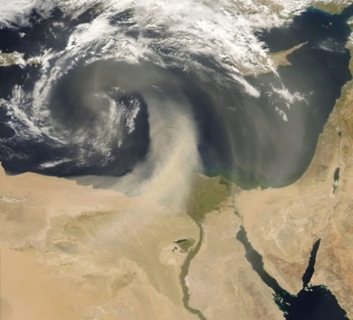
Frequent in arid regions, dust storms can have devastating effects. Powered by R&E connectivity, monitoring and simulations equip scientists to better predict them and assist authorities in issuing alerts to help people, particularly asthma sufferers, take protective action.
Subscribe to our newsletter.
Submit a Story