

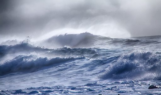
Predicting tsunamis through quantum computing
In Finland, a new type of supercomputer merges conventional supercomputing with quantum computing. An application could be calculating in near-real-time how a tsunami will develop.
In Finland, a new type of supercomputer merges conventional supercomputing with quantum computing. An application could be calculating in near-real-time how a tsunami will develop.

Thanks to an EU open science program, the climate researchers in each Nordic country do not need to create their models of the Nordic climate system from scratch.
Through extensive use of High-Performance Computing, a team at the National Research Council, Italy, challenges the established theory of turbulence.
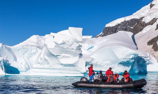
Researchers can look forward to improved connectivity at a popular gateways to the Antarctic continent.

A new circuit improves the possibilities for Moroccan researchers to participate in international collaborations such as the high-energy physics experiment ATLAS and the undersea neutrino telescope ANTARES.

A new European initiative, Destination Earth, will use models of Earth sub-systems to assist authorities in preparing for extreme weather events related to climate change.
To help Australia transition to a lower emissions economy, researchers at Griffith University are using the Pawsey Supercomputing Centre and AARNet to explore new materials for more efficient green energy production.
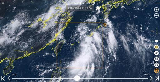
Research networks and mirror sites for Himawari Real-time enable fast, reliable access to satellite imagery.

Digital Earth Africa is helping to build a better future for Africa and NRENs are playing a critical role in making this happen.
Subscribe to our newsletter.
Submit a Story