
Ice sheets may add 40 centimetres to sea levels
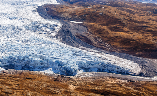
According to large cross-disciplinary project, the ice sheets of Greenland and Antarctica could together contribute about 40 centimetres of global sea level rise by year 2100.
According to large cross-disciplinary project, the ice sheets of Greenland and Antarctica could together contribute about 40 centimetres of global sea level rise by year 2100.

The Biodiversity Climate Change Virtual Lab (BCCVL) is one of the most accessed services via the Australian Access Federation (AAF), the national provider for federated single sign-on.
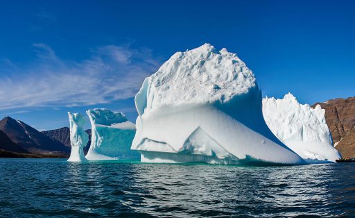
Both domestic researchers and the numerous visiting scientists will benefit from the availability of the global secure mobility service eduroam at The Greenland Institute of Natural Resources.
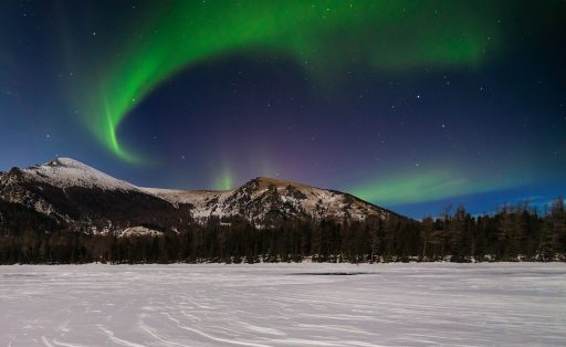
Scientists at the University of Calgary in Canada are spearheading aurora studies, that will help us model and predict space weather and understand the Earth’s magnetosphere.
Researchers at the University of Prince Edward Island in Canada have created a tool that’s able to visualize the changes about to take place at local communities.

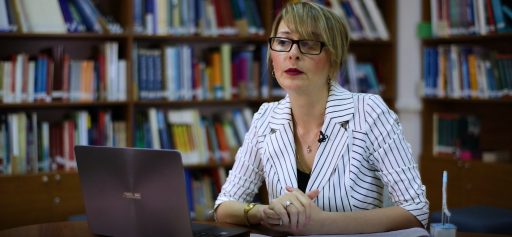
Brazil is a veritable treasure chest for research and development in biodiversity, climate, natural sciences and the environment. The nature of this type of research is driven by collaboration and high bandwidth network technologies.
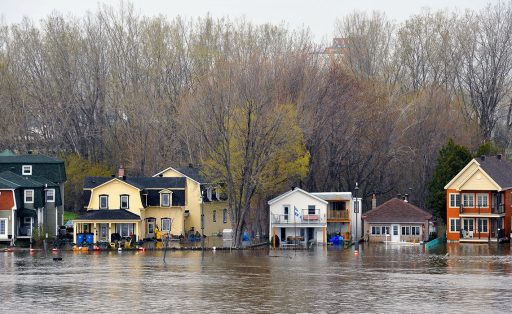
Natural disasters have intensified in recent years, causing substantial damage to infrastructure, farmland and people’s lives, with research more critical than ever to improving disaster preparedness.
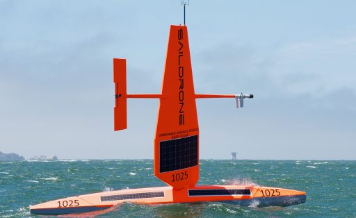
Thanks to a new agreement between CENIC and the City of Alameda in Northern California, students will get to work with first-of-its-kind data captured from autonomous ocean vehicles studying everything from marine wildlife to climate models.
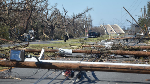
When Hurricane Michael came ashore at Mexico Beach, Florida on October 10, 2018, it knocked the Traffic and Criminal Software, a vital piece of law enforcement software, offline.
Subscribe to our newsletter.
Submit a Story