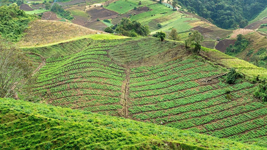
How satellite data is helping farmers fight drought and grow smarter
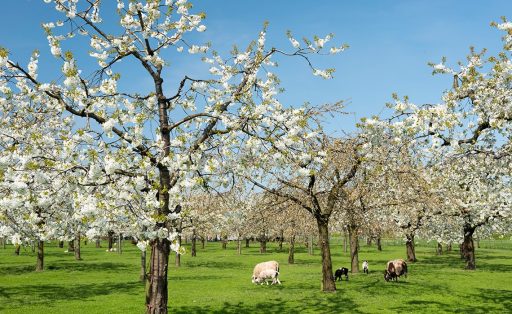
Satellite-derived humidity indices could help smallholder farmers in Panama reduce climate-related losses. The concept—Cosechas 4.0—was one of eight projects selected for support at InnovaInvest: Copernicus Edition, an event connecting researchers and entrepreneurs with investors to address environmental challenges in Latin America.
Satellite-derived humidity indices could help smallholder farmers in Panama reduce climate-related losses. The concept—Cosechas 4.0—was one of eight projects selected for support at InnovaInvest: Copernicus Edition, an event connecting researchers and entrepreneurs with investors to address environmental challenges in Latin America.