
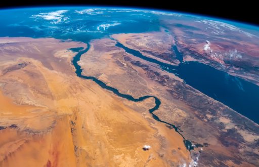
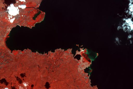
Space tech assists environmental efforts in the Arab region
Simulations of sand dune movements is just one of many examples of how space technology can help the region to protect its environment.
Simulations of sand dune movements is just one of many examples of how space technology can help the region to protect its environment.
Using sub-sea cables as scientific instruments for collecting environmental and other data is an interesting new trend

A new project sees 705 km of optical cable laid in the bed of the Amazon River, passing through five cities that together have a population of 1 million inhabitants.
Regional research and education networks in Africa and Latin America join forces to address United Nations Sustainable Development Goals and other common challenges.
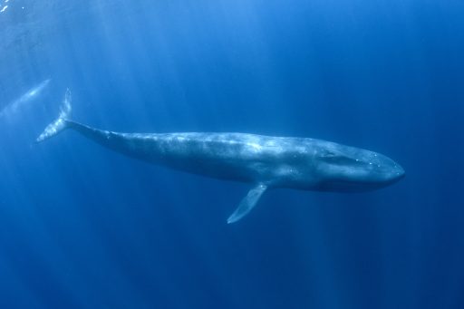
Tracking the migratory patterns of fish required connecting a vast number of sensors and cameras and the capacity to flawlessly transfer terabytes of recorded images and signals.
Game-changing technology for remote sensing Earth Observation and national-level data visualisation to measure productivity of pasture land, the presence of pollutants, and the impacts of natural phenomena such as erosion or droughts.
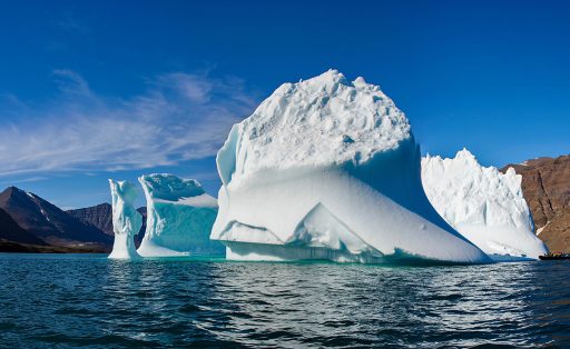
Both domestic researchers and the numerous visiting scientists will benefit from the availability of the global secure mobility service eduroam at The Greenland Institute of Natural Resources.

Brazil is a veritable treasure chest for research and development in biodiversity, climate, natural sciences and the environment. The nature of this type of research is driven by collaboration and high bandwidth network technologies.
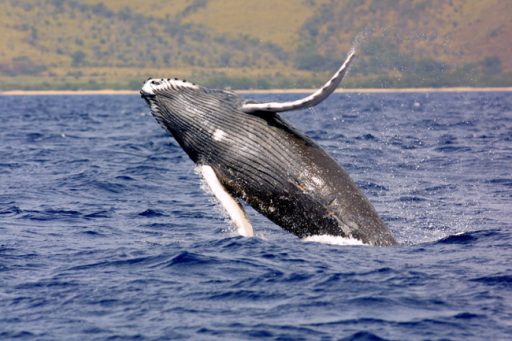
OTN research has yielded important insights into the often-mysterious migrations of endangered marine animals like leatherback turtles, basking sharks, American eels, and Bluefin tuna, and have generated critical knowledge towards conservation recommendations.
Subscribe to our newsletter.
Submit a Story