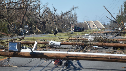
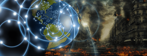
When Hurricane Michael came ashore at Mexico Beach, Florida on October 10, 2018, it knocked the Traffic and Criminal Software, a vital piece of law enforcement software, offline.
Harnessing the power of citizen science gives scientists the opportunity to gather more data than they ever could alone.
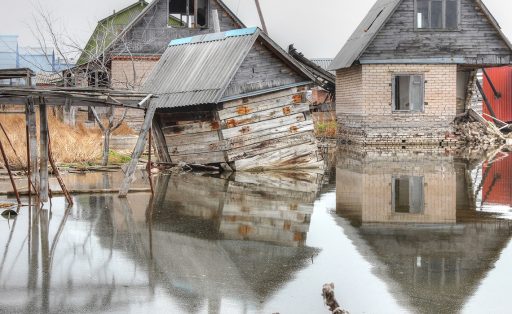
A Moldovan scientist is improving his country’s preparedness for environmental disasters.
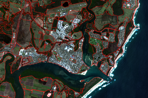
A customized network solution has greatly improved access to essential satellite imagery and geospatial data for researchers who help inform government policy on land management.
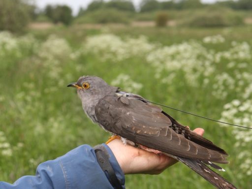
How is this even possible? A cuckoo carrying a tiny transmitter signalling to a satellite and allowing researchers to track its 16,000-kilometre, ten-month-long loop migration from Scandinavia to Central Africa and back.
TLALOC-Net is a network of GPS and meteorological stations used to study the atmospheric and solid earth processes, allowing better analysis of the Mexican subduction zone.
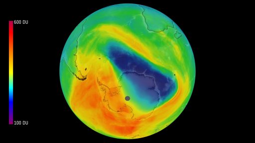
For the first time, air pollution from individual cities and built-up areas can be detected from space. The European Sentinel-5 Precursor Earth observation satellite sends ultra precise measurement data to ground stations in Norway and Canada.
R&E networks make hydro-meteorological monitoring data accessible to scientists and local authorities for informed water supply assessment and management in Central Asia
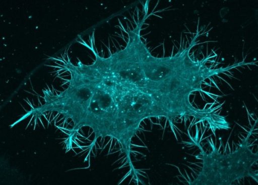
Using the HPC Cloud, a new strategy has been developed to make microscopes more sensitive, helping with the study of living organic substances (such as cancer cells).